The world around us is changing constantly. Technologies develop, progress takes its place. However, one thing stays permanent: humans still depend on environment. And partially well-being of people is related to plants. Plants allow people to breathe, plants give us food, shelter, medicaments and many other crucial things. Yet, uncontrolled agriculture, transition to monoculture farming within entire countries, climate change — all these factors have negative effect on vegetation layer. Moreover, human population grows exponentially, and the issue of food supply arises more sharply.
That’s why nowadays there is a steady tendency to preserve what we possess at the moment. And here satellite monitoring over vegetation condition comes to help. Also satellite monitoring facilitates work of farmers and lets decrease costs and losses in case of negative weather phenomena such as floods and drought. Whenever it is an emergency situation or farming planning there is a great helping tool that is satellite imagery which provides a vegetation index (NDVI) and a water index (NDWI).
Let’s consider what they are and how they differentiate.
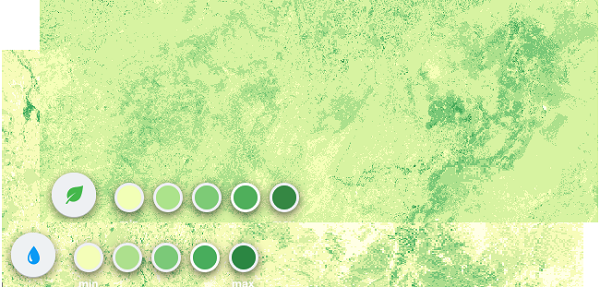
NDVI — Normalized Difference Vegetation Index
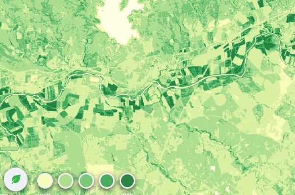
Nowadays it is the most common index of density of vegetation layer. Low values of NDVI (0.1 and less) correspond to vegetation free regions and to stone, sand and snow areas. Moderate index values (0.2–0.3) show presence of bush and meadow vegetation; while high index values (0.6–0.8) denote forests of temperate climate and tropical rainforests.
NDVI is calculated from comparison of visible and near-infrared light reflected from vegetation. A green pigment in leaves that is chlorophyll greatly absorbs visible light (from 0.4 to 0.7 microns) for photosynthesis process. At the same time, structure of cells of leaves greatly reflects near-infrared light (from 0.7 to 1.1 microns). Healthy vegetation absorbs a major part of visible light while it also reflects a larger part of near-infrared light. Unhealthy or scarce vegetation reflects visible light mostly and a lesser part of near-infrared light.
NDVI = (NIR — VIS) / (NIR + VIS)
NDWI Normalized Difference Water Index
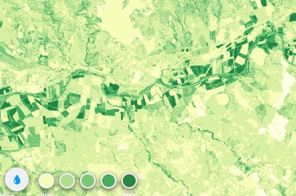
Plant humidity is an important indicator for wildfires monitoring and for defining of possibly dangerous regions. Low humidity contributes to environment susceptible to wild fires, especially it happens in ecosystems where live and dry vegetation coexist.
NDWI in comparison with NDVI is more accurate indicator of plant humidity. NDWI is calculated with the help of water absorption band which is more closely connected with moisture than chlorophyll whose light-absorbing properties are used in calculation of NDVI. During droughts vegetation condition greatly depends on water stress and in this case Normalized Difference Water Index is more useful than chlorophyll-based Normalized Difference Vegetation Index.
Комментариев нет:
Отправить комментарий